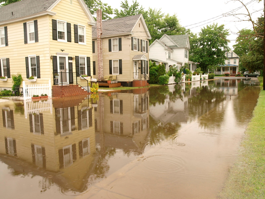
Dorchester County, Maryland, has become increasingly known as one of the most vulnerable parts of the Bay for flooding. Now, the Eastern Shore county will take drastic measures to protect its land: a living shoreline that will stretch on for 1.6 miles.
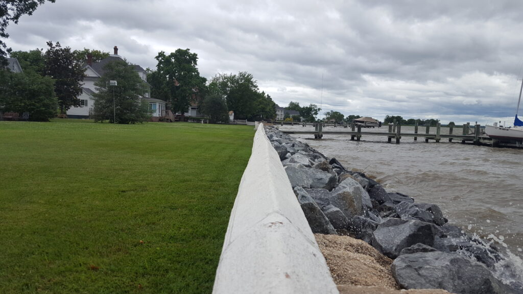
The City of Cambridge and a research team from the University of Maryland Center for Environmental Science’s (UMCES) Horn Point Laboratory has teamed up to build a kind of hybrid flood wall-living shoreline, meant to protect more than a mile and a half of the city’s waterfront.
The Make Cambridge Resilient Flood Mitigation Project will be installed along the Choptank River from Gerry Boyle Park at Great Marsh outside city limits, all the way to the mouth of Cambridge Creek.
“Maryland’s entire eastern shore community is a front-row witness to climate change,” said Ming Li, UMCES Professor and PI on the project. “The community is already starting to feel the impact of sea level rise. Kids cannot get to school because the streets are flooded, buses can’t get to houses. We are trying to protect the town and also generate new knowledge that will be useful to communities beyond Cambridge, so this project is so extensive, as well as vital,” says Ming Li, UMCES Professor and PI on the project.
Instead of a typical storm wall, the hybrid floor barrier will use a living shoreline that includes oyster reefs, marshes and sediment. UMCES says this will prevent erosion and protect against sea level rise while the oysters improve water quality and the marshes encourage ecological growth. The hybrid design will also fight storm surges like the Bay saw in Hurricane Isabel, among others.
“You cannot take Isabel as a 100 year storm anymore—it may return every 25-50 years in a changing climate, which changes the risk profile,” Li said. “We’re excited to partner with the City of Cambridge and FEMA on this innovative project.”
Historically, FEMA usually tackled flooding with infrastructure like levees and walls, but this time the agency is on board for a hybrid approach on a large scale.
“1.6 miles of living shore is huge,” says Michael Sieracki, director of the Horn Point Laboratory in Cambridge. “You hear a lot about living shorelines, which are gaining traction in the U.S. and abroad, and they’re often associated with single residences, so this project is really large scale, which makes it unique.”
According to the Sea-Level Rise Projections for Maryland 2023, Maryland’s shoreline is rising faster than in the past and will likely rise at least a foot, but possibly up to a foot and a half, between 2000 and 2050. With 3,190 miles of shoreline, Maryland is particularly vulnerable to the consequences of sea-level rise.
Cambridge will also get upgrades to its stormwater management system to prevent high tides from backing up into the streets.
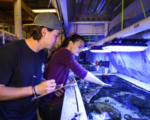
“The science being done at Horn Point is really cutting edge —we’re good at making these things work, at determining which design aspects for coastal resilience will make this project successful,” said Sieracki.
The design of the living shoreline is still being fine-tuned as researchers use modeling to see how well it works in retaining sediment and protecting from wave action. They’ll also design the site’s oyster reef and study what is best for enhancing fish habitat.
The City of Cambridge will work directly with property owners affected by the shoreline construction.
The flood wall project is expected to take three years. FEMA is funding Phase 1 and will reserve $16 million for construction.