by Dick Cooper
The Chesapeake & Delaware Canal has been a vital link between the two great bays for so long it’s almost taken for granted. For almost two centuries, boats have been carrying passengers and cargo on the 14-mile passage, and ocean-going ships have been using it as a shortcut across the Delmarva almost daily since it was turned into a sea-level waterway ninety years ago.
Over time, it’s easy to forget that even the old and familiar was once new and innovative. And while the canal route near the head of the Chesapeake Bay has been long established, it was not the only path that was considered. Before it was dug, five other routes were studied, and in the late 1800s new plans were well underway for a second canal, 75 miles to the south—a move that would have had a transformative effect on today’s Eastern Shore.
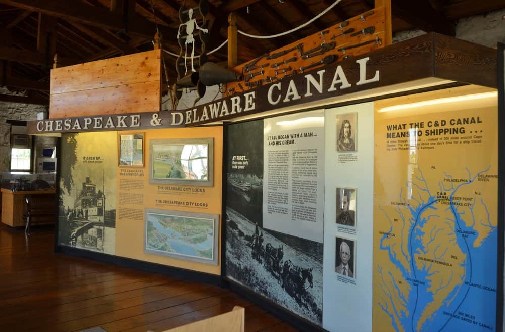
Colorful displays, models and artifacts at the C&D Canal Museum in Chesapeake City tell its history. The museum, housed in the stone building that was the pumphouse for the early canal locks, still holds the two-story-high, steam-driven pumps and waterwheel.
Since the early days of European exploration, the Chesapeake Peninsula, as it was then known, was considered a major obstruction to navigation between the growing seaports of Boston, New York and Philadelphia and the bountiful Maryland and Virginia colonies. The first European given credit for proposing a canal was Augustine Herman, a Bohemian adventurer and entrepreneur. According to several biographical accounts, Herman spent the first four decades of his life in almost constant motion. He left his home in Prague, Bohemia, as a boy, traveling across a Europe being torn apart by religious strife and the Thirty Years’ War. He found refuge in the Netherlands where he learned the skills of a surveyor. In 1633, at the age of 12, he sailed across the Atlantic, bound for the New World on a ship that took him to the Dutch colonies in the Caribbean. He wound up a few years later in the frontier town of New Amsterdam, on Manhattan Island, where he made, lost and remade fortunes.
It was in 1659, while traveling to negotiate a land dispute between the Dutch and Cecil Calvert, the second Lord Baltimore, that Herman saw the Upper Chesapeake Bay. He had sailed up the Delaware, crossed by land to the Chesapeake and sailed to meet Lord Baltimore at St. Mary’s City. Herman must have had a good meeting because he quickly switched sides and offered to help the English gentleman by surveying and mapping the entire Chesapeake region for him. In exchange, all Herman wanted was a mere 5,000 acres of the land he had just traveled through on what he would later name the Bohemia River in honor of his homeland. It came at a time when Lord Baltimore was vigorously trying to entice fellow Englishmen to his new waterfront properties on the Chesapeake, and he granted Herman’s request. It didn’t take long for Herman to determine that a lot of time and money could be saved if a canal was dug across the peninsula—and he recommended that Lord Baltimore do just that. His advice languished, however, primarily because Lord Baltimore and William Penn and their heirs spent decades haggling over the peninsula’s ownership.
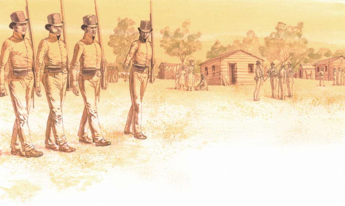
Herman’s idea was too good to suppress, and it kept bubbling to the surface. In the 1760s, a group of Philadelphia investors surveyed a route between the Chester River and the Delaware Bay and began buying up land, but they ran out of money before they could dig. A 1799 survey map on display at the C&D Canal Museum, shows five possible paths that were studied before the current one was settled on. All of the plans called for locks with the most ambitious being 4 locks between Elkton and the Christiana River. In 1802, Maryland and Delaware formed a joined effort to dig a canal, but the initiative ultimately fell apart. Finally, starting in 1822, a venture funded by the two states, the federal government, and private investors was formed. Two years later, 2,600 laborers began to dig the canal along its current route using hand tools.
When the canal was completed in 1829, advertisements were placed in newspapers announcing: “NOTICE IS HEREBY GIVEN, that the canal is open for navigation. The rates of tolls have been fixed so low as to make it the cheapest, as well as most expeditious and safe channel of communication between the waters of the Chesapeake and the Delaware.” As an additional service, “Horses for towing may also be hired at a low price at either end of the canal.”
The canal quickly became the preferred shipping route for coastal barge and schooner traffic. The Ericsson Line built a fleet of steamboats tailor-made for the canal dimensions and ran daily scheduled runs between Philadelphia and Baltimore’s Light Street wharves. But times and technology were changing fast—and by the late 1870s, merchants and politicians from Baltimore, Philadelphia and New York were clamoring for a ship canal big enough to handle ocean-going vessels. They were also lobbying for a route that wouldn’t freeze over too often in the winter.
A comprehensive survey of possible canal locations by the Army Corps of Engineers was led by Colonel William P. Craighill and his team of surveyors and engineers in 1878 and 1879. Six new routes were proposed, ranging in location of origin from the Sassafras River, the Chester River, the Corsica River, and the Wye River. But the one that Craighill favored would have had the greatest impact on the Eastern Shore. That meandering route ran southeast from Baltimore, across the Bay to a widened and deepened Kent Narrows, then down Eastern Bay to the Miles River. It then would create a new canal between Oak and Plaindealing Creeks to join the Tred Avon River across from Oxford, would turn onto the Choptank River passing Cambridge, and finally connect to the Nanticoke River and up to Broadkill Creek near Lewes.
Craighill liked that route because it had fewer than half of the days of freezing temperatures per year than the existing canal, and also cut the travel time by half—16.5 hours from Baltimore to Lewes instead of 33.5 hours to steam down the Bay and around Cape Charles. He estimated that while the cost for all of his routes would range from $8 million to $41.5 million, his favored Choptank proposal was estimated to come in at $18.5 million.
The government reports were written, the recommendations were made, newspaper accounts were disseminated, and politicians gave speeches. Then, for 15 years, nothing was done.
In 1894, President Grover Cleveland appointed Craighill to a blue-ribbon panel empowered to decide which of his routes should be constructed. In December of that year, after a flurry of studying, surveying, map making and engineering, the panel reported to Cleveland the C&D Canal should remain right where it was—only dug deeper to make it a sea-level cut. The Baltimore politicians and merchants—who felt the Choptank route would give them a competitive advantage over their Philadelphia rivals—were furious. The members of the blue-ribbon panel stuck to their guns, claiming the existing canal access up Delaware River was easier to defend from a naval attack. Again, it was much ado about nothing. The project languished until after the end of World War I.
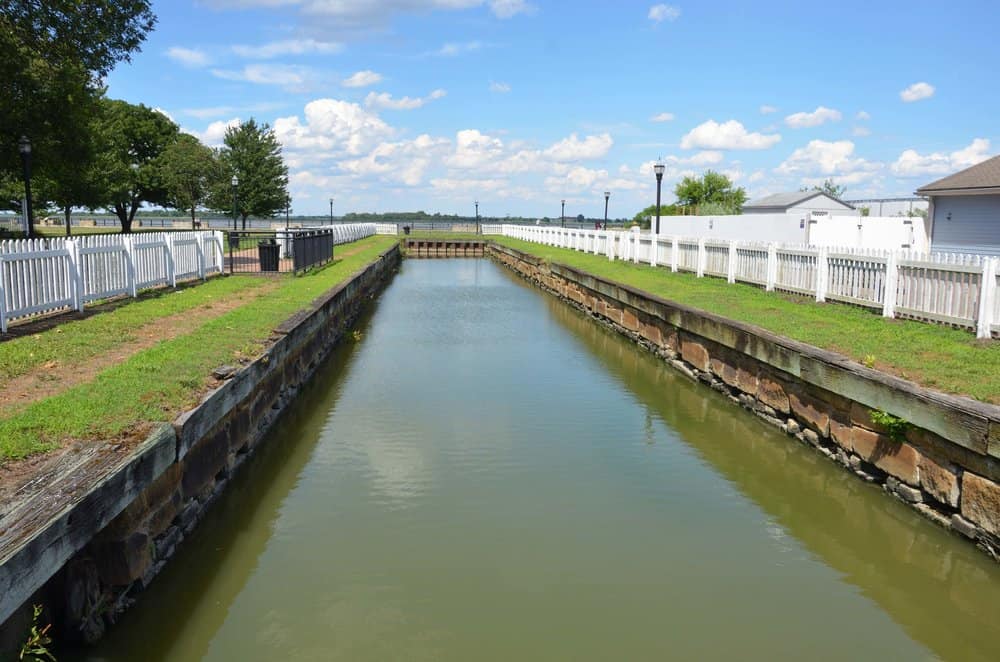
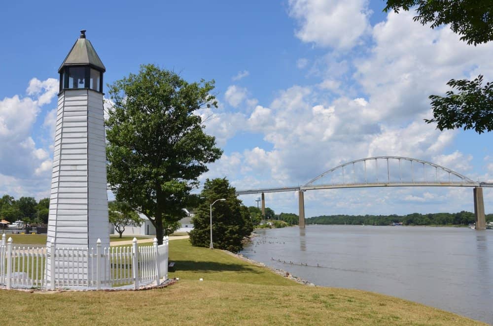
Finally, in 1919, the federal government bought the privately held canal and began improvements. It was reopened to sea-level traffic in 1927. Since then, it has been expanded and redesigned several times, with old bends in the route straightened and the bed dredged to accommodate larger vessels. Today, the canal is 35 feet deep, 450 feet wide and 14 miles long.
Part of Craighill’s Choptank route stayed on the books for another 100 years—a channel from the Miles to the Choptank or the Tred Avon. Congressmen from the Eastern Shore worked through the 1930s, 40 and 50s to get support for the expedited route between Oxford and St. Michaels from federal and state governments. At one point in the late 1950s, the Easton Star-Democrat reported that the owner of the 700-yard stretch of farmland separating the creeks offered to give up the rights to his property in exchange for building a 100-slip marina and developing waterfront homes.
Letters to the paper’s editor show a lively debate between those for and against a canal. One writer noted that there was plenty of nearby marshland that could be filled with the dredged spoil. “Real estate values would certainly not suffer. Waterfront acreage along the proposed canal would be created and re-vitalized from the creation of an all-weather route,” one writer opined. Another area resident worried the cut would endanger the environment and wildlife. Once again, after more studies, committees and reports, the final legacy of Craighill’s grand canal plan faded away.
One can’t help but wonder how Craighill’s favored Choptank route would have changed the Eastern Shore of today. More than 25,000 vessels now traverse the C&D Canal every year. Would log canoes have to fight for room at the mark with containerized cargo ships off St. Michaels? Would weekend cruisers have to contend with tankers rounding the Choptank River Light? Would the hamlet of Royal Oak have to compete with Kent Narrows for the Margaritaville crowd searching for their lost shaker of salt?
Dick Cooper is a Pulitzer Prize-winning journalist and photographer. He has sailed the Chesapeake Bay for 40 years and is the author of East of the Chesapeake: Skipjacks, Flyboys and Sailor, True Tales of the Eastern Shore.