Just hours after the Maryland Transportation Authority (MDTA) announced the three locations still in the running for a possible new Bay bridge, local groups on both sides of the Chesapeake spoke out against the proposed options.
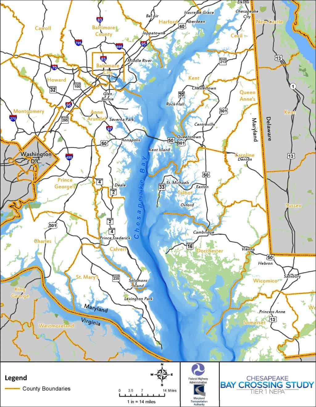
The Chesapeake Bay Crossing Study Tier 1, is looking at three corridors (or two-mile-wide stretches) where a new bridge span could connect the eastern and western shores, alleviating the decades-long traffic problem at the existing Bay Bridge. Details on the three corridors were released Tuesday; click here to read Bay Bulletin’s report.
After MDTA and the Federal Highway Administration released the locations and dates for public comment, it didn’t take long for Anne Arundel County’s Executive to fire back.
County Executive Steuart Pittman released a statement responding to the “mass email” he says he received from MDTA, narrowing down the potential crossing corridors to three:
“This morning, I was surprised to find out that the joint federal and state study of potential Bay Bridge crossings had been narrowed down to include only those that cross through Anne Arundel County. Any of the three options will be severely disruptive to existing communities and sensitive environmental areas. All three options could destroy parks along the Chesapeake Bay, at a time when we are trying to expand public water access.”
Pittman goes on to argue that the northernmost of the three corridors “appears to go through Downs Park” in Pasadena, the middle crossing “appears to go through Sandy Point State Park,” and that the southern crossing “appears to go through Beverly Triton Nature Park” in Edgewater.
But the locations released Tuesday don’t specify exactly crossing points. MDTA has said that the Chesapeake Bay Crossing Study Tier 1 will select “approximately 2-mile wide corridors using a broad-scale level of detail for engineering and environmental information,” and that there will be a Tier 2 study to “identify specific alignment alternatives within the corridor alternative that is identified in Tier 1.”
In addition to the three corridors still being considered, the study is also keeping a “no-build option” on the table. Both Pittman and land-protection interests on the Eastern Shore are pushing for public transit as a congestion solution, instead of a new crossing.
Pittman says in his statement:
“I suspect…that bridge traffic can be better addressed with the forward-looking public transit options that this study dismisses. If we haven’t figured out how to get cars off the road by the time this bridge gets built, we’ll have much bigger problems to confront than traffic.“
The Eastern Shore Land Conservancy (ESLC), a nonprofit “dedicated to preserving the vibrant communities of the Eastern Shore,” also opposes an “auto-oriented” new Chesapeake Bay bridge crossing.
ESLC champions “transportation demand management strategies” to fix the congestion at the existing Bay Bridge, instead of making more space for cars to cross. With any possible new Bay crossing decades away, ESLC held a planning conference in April to map out possible actions to lessen traffic in the near future. Bay Bulletin’s Cheryl Costello reported on it here.
Some solutions ESLC suggests include real-time traffic monitoring, more public transit, high-speed tolling, and incentives for carpools, and rideshare apps for commuters or Ocean City travelers.
In a statement, ESLC says the current Bay Bridge spans “have led to intense housing sprawl and thousands of acres of habitat, farmland, and sensitive landscapes being permanently lost to development, on the Eastern Shore.”
The statement goes on to say:
“While costing Maryland residents billions of dollars a new bridge crossing would dramatically degrade the working landscapes, ecological balance, and overall rural character of the region.”
ESLC says its suggestions are more cost-effective, making the most out of existing infrastructure.
-Meg Walburn Viviano


