How high is the Chesapeake’s highest daily vertical tide change? Compared with the 10- to 40-foot changes from Downeast Maine through New Brunswick and Nova Scotia, it’s fairly small. Most of the tide stations in the Bay system see one- to two-and-a-half feet, and our strongest tides are way upriver. The largest range in NOAA’s tide tables turns out to be three-and-a-half to five feet (depending on the moon’s phase), at Wakema on Virginia’s Mattaponi River, some 15 miles above West Point (where the Mattaponi and the Pamunkey join to form the York River).
Tides are progressive waves of energy with periods around twelve hours and twenty minutes long. As one wave rolls up a river and reflects off the point where the bottom rises to sea level, it collides with the next wave coming upstream. Depending on the three-dimensional shape of the basin, these opposing forces may hinder or reinforce each other, so some resulting river tides are quite small, while others grow surprisingly high. In the entire Chesapeake system, the Mattaponi’s tides are the tallest. Years ago, I paddled both with and against them over three summers working as a counselor at a camp for boys. Those summers formed the beginning of my long-time love affair with the Mattaponi.
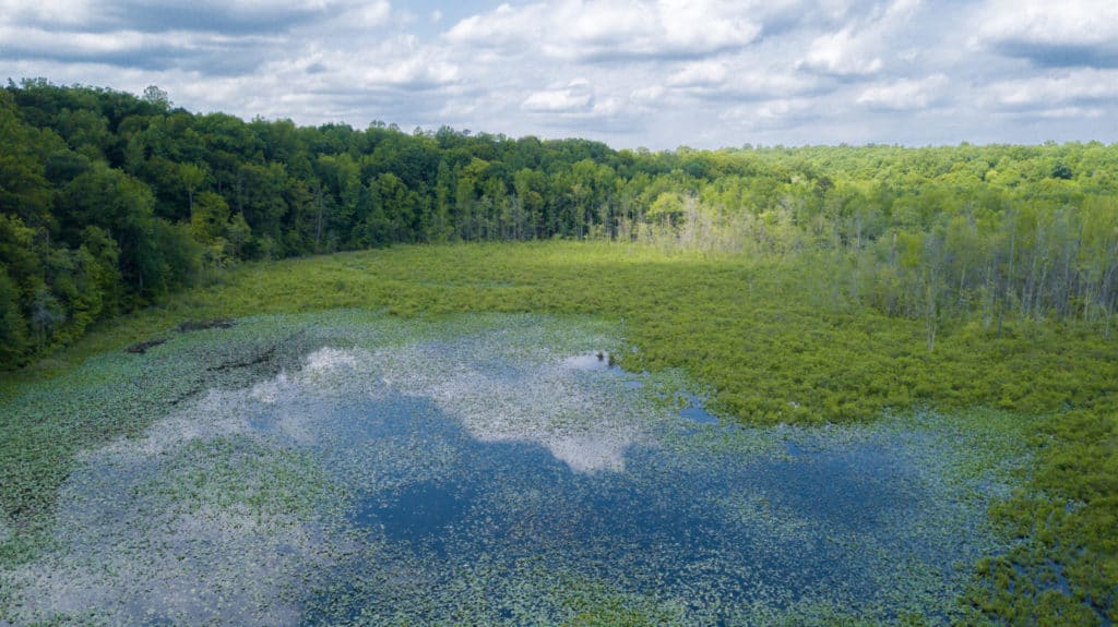
That current is one factor that makes the Mattaponi a fascinating waterway to explore. Another is its good water quality, thanks in large part to its still-forested watershed. The river rises from commercial pine timberland, mixed hardwood bottomland, and wetlands in Central Virginia’s Piedmont as the Matta, Po, and Ni rivers. Those wood- and wetlands absorb rainwater naturally, filter it, and release it gradually into the river system. They also provide great habitat for wildlife, from whitetail deer and bobcats to river otters and migratory waterfowl. Good examples with hiking trails open to the public are the Mattaponi Bluffs Wildlife Management Area of Virginia’s Department of Wildlife Resources (visit dwr.virginia.gov/wma/mattaponi-bluffs) and Zoar State Forest of the Department of Forestry, which also offers canoe/kayak access to the river (dof.virginia.gov/stateforest/list/zoar.htm). A good five-mile flatwater paddling trip runs from the landing at Zoar downstream to DWR’s boat landing and ramp at Aylett. Further downriver is Sandy Point State Forest (dof.virginia.gov/stateforest/list/sandy-point.htm), with trails and frontage on the river.
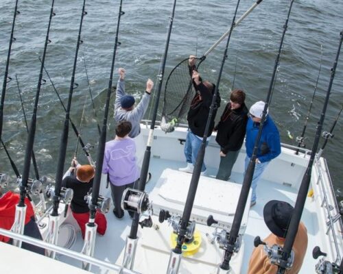
The power of the flow from the Mattaponi’s watershed and its tides provides plenty of current that attracts anadromous fish—species that spend most of their lives in the Chesapeake and the Atlantic Ocean, but ascend the river to spawn. They include river herring (alewives and bluebacks), shad (American and hickory), striped bass, white (gray) perch, yellow (ring) perch, and even a few Atlantic sturgeon. Most of them spawn in the spring, a constant parade from late February into June, with a small run of sturgeon also in the fall. Meanwhile, the meandering channel of the tidal river and its freshwater marshes support strong populations of both species of perch, several sunfish (locally known as bream), largemouth bass, black crappie, chain pickerel, and blue, channel, and white catfish. Longnose gar gather to gulp air at the surface in “playgrounds” over the deep water in the meanders. A few of the Mattaponi’s blue cats reach trophy size, but the most satisfying fishing experiences here are for “whatever bites”: general bait fishing with worms or cut bait, or casting small lures like spinners and spoons with light gear. The variety will please both young and older anglers, as will a few of the panfish harvested for an excellent meal. Anyone interested in birds will find plenty to watch as well, in all seasons.
The riches of the Mattaponi have made the river home to Native Americans for multiple millennia. The Mattaponi Tribe, “the people of the river,” formed peace with the English in 1646; in 1658, the Virginia General Assembly ratified their claim to long-settled land that has been their reservation ever since. It lies on the outside of a curve about ten miles below Walkerton. Faithful stewards of the river for many years, the residents have been especially active not only in subsistence fishing for American shad in the spring but also participation in efforts to strengthen the stock. The tribe (mattaponination.com) gained federal recognition in 2018, along with the Upper Mattaponi Tribe (umitribe.org), indigenous to the river’s headwaters.
A look at later human history of the Mattaponi brings some surprises. Aylett appears to be an idyllic village today, known mostly for its bridge over the Mattaponi on U.S. Route 360 (the road from Richmond to Tappahannock). The river is only 20 yards wide there, but in the 18th century, the town was a busy port for shipping out grain and tobacco, as well as receiving manufactured goods from England. Ditto for Rosespout, which sits on a high bank on the outside of a turn a mile downstream. The name signifies a large wooden pipe (spout) through which farmers poured grain down into ships’ holds. Rosespout’s old wharf pilings still show at low tide.
Follow a map along the Mattaponi (you can order river maps from the Mattaponi and Pamunkey Rivers Association, mpra.org) and you’ll see a string of landings that supported the region’s agricultural economy for nearly three centuries, from the earliest English settlers until the steamboats ceased their runs in the 1920s. Older riverside estates like Newington have buildings constructed of stone brought in by ships as ballast. At Chelsea Plantation, ballast stone piles in the river augment natural fish habitat. Walkerton, twelve miles below Aylett, was particularly important for shipping out lumber from the forests around the Mattaponi. Late 19th-century photographs show schooners and three-masted rams moored there waiting to load. With the building of roads in the 20th century, Waterfence Landing, a few miles above West Point, became the primary site for loading lumber. Multiple ferries crossed the river before construction of the bridges at Aylett, Walkerton, and West Point.
Now contemplate what it took to skipper a sailing ship up that winding, narrow-but-deep, tree-lined channel for some thirty-five miles above West Point. Making that tedious trip meant playing the tides, probably with crews rowing a small towboat to give the ship enough way to maintain steerage. The river does grow wider further down, but even at West Point, it is only a quarter-mile across, hardly the fetch that modern recreational sailors seek. For colonial America, though, this kind of water was instant infrastructure in a land without roads, so ship captains did whatever they had to do to move goods up and down. The development of internal combustion engines for yawl boats made the trip easier on the crews, but life moved at a much slower pace back then.
So what are the right boats for exploring the Mattaponi River in 2020? Well, there’s plenty of depth even for cruising powerboats all the way up to Aylett, though vertical clearance at Walkerton is only six feet. The most appropriate vessels, though, are those that place their crews close to the water. The upper reaches are great for paddling, especially if you pay attention to the tides (yes, I speak from experience). In addition to Zoar State Forest and Aylett, public access points include Walkerton, Melrose Landing just below King & Queen Courthouse, Waterfence, and West Point. Fees for the first, which is privately owned, go to support Walkerton’s rescue squad. The others are free, built and maintained by DWR. For them, outboard skiffs of 14-20 feet are ideal, especially if equipped with pushpoles for poking up into the marshes (and getting back out if caught by inattention to a falling tide; again, I speak from experience).
A lot of cars and pickups cross the Mattaponi at Aylett while carrying or towing boats. Not many of them stop. Local people chuckle. They like their river quiet. Nevertheless, I’m confident that any CBM reader who has followed this column will treat their river with the respect, curiosity, and delight that it deserves. Let us know what you find when you explore it.
An afterword: In most years, the Mattaponi-Pamunkey Rivers Association organizes paddling and cleanup events on the Mattaponi. COVID-19 has put a crimp on their efforts in 2020, but they hope for healthier times in 2021.