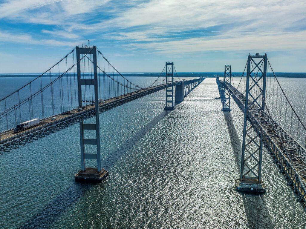
Maryland transportation officials released their narrowed-down options for an entirely new Chesapeake Bay Bridge a month ago, making waves across the Bay community. Hundreds of comments poured in to Chesapeake Bay Magazine on social media.
Now, people living on both sides of the Chesapeake have the chance to ask their burning questions to the people in charge of the project, and can officially submit their opinions on the direction the bridge replacement plans are going.
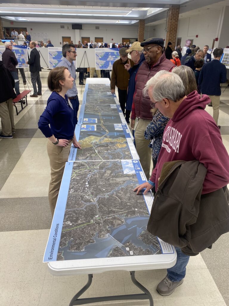
The Maryland Transportation Authority (MDTA) is holding a series of open houses with agency staff and bridge consultants to answer questions about each aspect of the alternatives being considered. The first, a virtual open house, drew hundreds of viewers. The second was held Monday, Dec. 9, at Broadneck High School on the Anne Arundel County side of the bridge. Hundreds showed up in person to see the plans up close, ask questions, and voice concerns about existing and future gridlock at the bridge and in their neighborhoods—whose roads are often backed up because of bridge-bound line jumpers. And the third open house will be held the evening of Wednesday, Dec. 11 at Kent Island High School.
The Chesapeake Bay Bridge Crossing Study was launched back in 2017 to explore solutions for the aging structure of the two Bay Bridge spans and for the traffic nightmares for locals, caused by backups at the bridge. In the first phase of the National Environmental Policy Act (NEPA) study exploring a new crossing, MDTA looked at several possible locations for a new bridge span in Maryland’s portion of the Bay, and along with a possible tunnel, explored several no-build options, including ferries, rail, and keeping the existing bridge. There were opportunities for the community to give feedback during the Tier 1 NEPA.
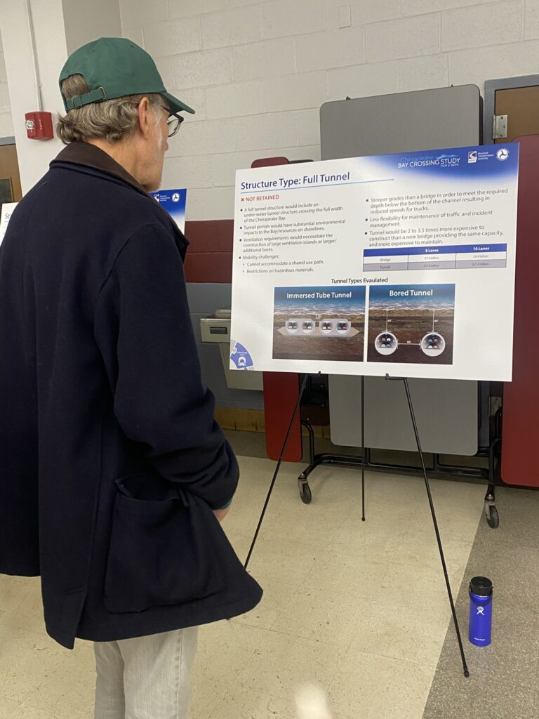
Since then, the MDTA has moved into the Tier 2 NEPA study, which has narrowed down the plans from several locations to just one—the location of the two existing spans. The study authors eliminated several no-build options and the possibility of a tunnel. It has kept bus transit as an alternative and added the option of a protected, shared-use lane for bicyclists and pedestrians.
The alternatives still on the table all entail two bridge spans, but where and when to build each span in relation to the existing bridge remains to be decided. Also to be decided is the total number of lanes, both on the bridge itself and in the approaches to the bridge from the Eastern and Western shores. One of the proposed alternatives would feature eight lanes leading up to the bridge’s two spans, with a total of 10 lanes on the bridge itself. Over the next year, traffic modeling will be done to determine which combination of lanes is optimal for reducing bottleneck.
MDTA leaders make it clear: they are still pursuing a lot of different ideas within the alternatives under consideration. For example, Melissa Williams, Director of Planning and Program Development, envisions a possible bus lane that could be used during heavy traffic times to get schoolchildren and sports teams back and forth without getting stranded. Public bus lines could be expanded to more frequent and reliable trips, reducing the number of cars on the bridge. At other times, this flex lane could be used for maintenance work or disabled vehicles. There is currently no place for these vehicles to go.
With so much of the concept still flexible, Williams says it’s the perfect time to submit comments on the ideas. “We’re bringing you in even as we explore the alternatives,” she says.
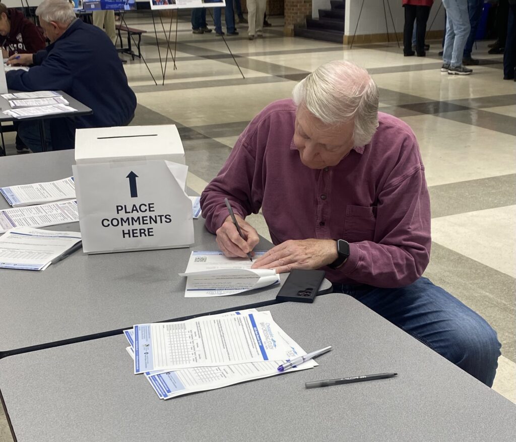
Now that there are specific alternatives, Williams is hoping for more in-depth opinions from neighbors and drivers. “We’re giving people things to react to,” she tells us. The open house featured a full tour of different alternatives that were kept and those that were deemed not feasible. Each aspect is featured at a station with a representative answering questions.
“Now that we have alternatives, we can dispel some of the myths,” Williams tells us.
The crowd at Broadneck High School’s open house was mostly made up of neighbors who want to see a fix for the traffic problems they endure on summer weekends, during holidays, and any other time the bridge is backed up.
Bernadette Bolte, 40-year Cape St. Claire resident, says that if she and her family want to run errands on a weekend, they’d better go early and be back by 9 a.m. She insists that putting a new bridge span from Southern Maryland to Cambridge would have been the solution, diverting beach traffic coming from Washington, D.C. and Northern Virginia. “We need two bridge locations!” she insists.
Bolte also expresses concern about the many roadways leading to the bridge approaches. On the Annapolis side, beach traffic can back up as far as the Severn River Bridge. “No matter what they decide, they will not be able to widen those roads and bridges.”
Elwood Jones grew up near the Sandy Point exit on Route 50 East, just before the Bay Bridge. He remembers when there was only one span of the Bay Bridge, and eastbound and westbound traffic had to alternate by the hour. He says that even since a second span was added, the Kent Island drawbridge was replaced, and the manned toll booths were eliminated, the traffic woes remain. “No matter what has been done, there’s always been delays,” he tells us. He sees eastbound delays even in the middle of the day.
In the Tier 2 NEPA, MDTA lays out in detail why some alternatives had to be eliminated. For example, the Cambridge location that Bolte was expecting to see would hold a significant environmental impact.
At the display that mentions the bicycle lane option, we met cycling advocate Jack Keene. The Maryland Committee Chair for the East Coast Greenway, Keene asked about connectivity between the existing B&A Trail on the west side of the bridge and the Cross-Island Trail on the Kent Island side. He questioned an idea MDTA is considering to add a bike lane only partway across the bridge. Williams says a lot of questions need to be answered about a possible bike lane: will riders be safe so high off the ground with the weather the Bay Bridge experiences? Is it cost-effective? “We’re laying out things we’re looking at,” she says.
The NEPA study team has a lot of work to do in 2025. By this time next year, Williams says, the MDTA will come out with just one preferred alternative, whittling down all the possibilities still on the table. They will present it to the public with another series of open houses, and incorporate those considerations in the draft they’ll present to the Federal Highway Administration (FHA). At that point, FHA will have its own opportunity to add tweaks before the official plan is set forth.
If you missed the two in-person open houses this week, MDTA’s full virtual open house and Q&A are posted here. You can give feedback using this open house survey link.

