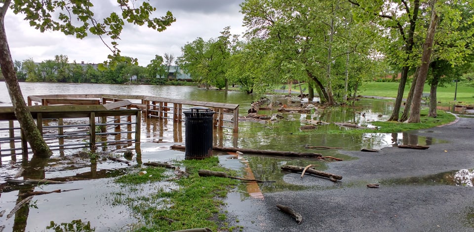
Two government organizations have a new agreement to tackle the problem of coastal flooding in the Washington, D.C. area, stretching from Bladensburg on the Anacostia River to Fort Washington on the Potomac.
The U.S. Army Corps of Engineers, Baltimore District, and the Metropolitan Washington Council of Governments (COG) announced their agreement Wednesday, to begin a $3 million, three-year study.
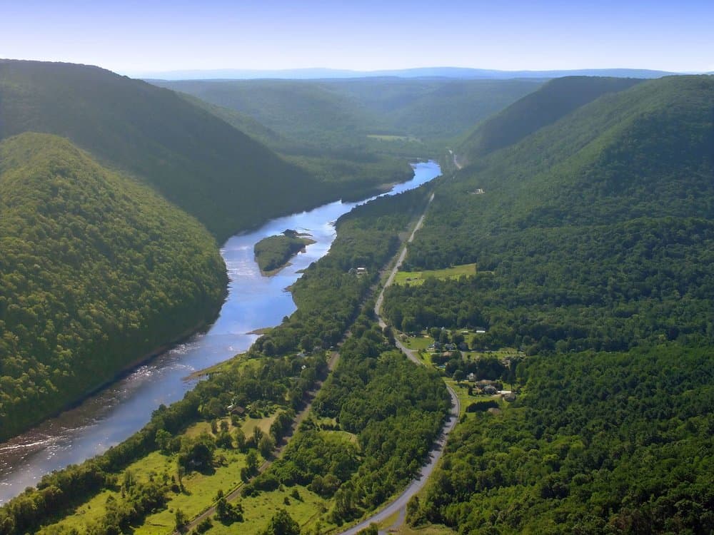
Alexandria along the Potomac River/NOAAThey’ll be looking for ways to address storm damage and coastal flooding over the stretch of more than 57 square miles.
It’s an especially critical area because the coastal areas contain many of the region’s water, energy and communication utilities, federal buildings and military installations, and national monuments.
“As part of this study, we will investigate flood risk and identify ways to help protect vulnerable assets upon which the region relies,” said Colonel Ed Chamberlayne, Baltimore District commander.
The study, known as the Middle Potomac – Washington, DC and Metropolitan Area Coastal Flooding Feasibility Study, is a spin-off of the two-year North Atlantic Coast Comprehensive Study (NACCS) completed in January 2015 that was commissioned by Congress as part of the Hurricane Sandy recovery effort. That study identified the Washington, D.C. area as one that needed further analysis. The National Capital Planning Commission will serve as a study advisor and will help coordinate federal participation.
“This state-of-the-art analysis will expand on past studies by assessing a range of possible future conditions to account for uncertainty and changing risk over time resulting from climate and sea level change,” explained Dave Robbins, Baltimore District coastal program manager.
The study costs will be split 50 percent from the Corps and 50 percent from COG and its cost-sharing partners.
The study area includes portions of the District of Columbia; Prince George’s and Charles counties in Maryland; and Arlington, Fairfax, and Prince William counties, and the City of Alexandria in Virginia, all located along the Anacostia and Middle Potomac rivers.
“Currently, the region lacks the tools to locally assess climate impacts on precipitation and groundwater, or to comprehensively understand how our infrastructure is vulnerable to flooding, coastal storms and sea level rise,” said Steve Walz, COG Department of Environmental Programs director.
This effort will result in a set of recommendations that the Corps and others could implement. The Corps and coastal communities could seek additional funding for recommended flood risk mitigation projects.
Anyone with information related to flooding in these areas, including photos, please send an email to the study team at MetroDCCoastalStudy@usace.army.mil.