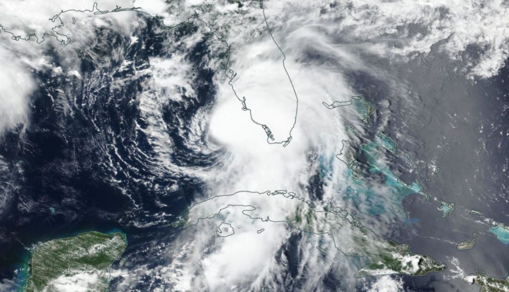
The National Oceanic Atmospheric and Administration’s (NOAA) May predictions for the 2022 hurricane season are in. Just like the last several years, forecasters are expecting a busy year.
NOAA’s Climate Prediction Center says there is a 65 percent chance of an above-normal season, a 25 percent chance of a normal season, and only a 10 percent chance this hurricane season will be below average.
NOAA is forecasting 14-21 named storms (those with winds of 39 miles per hour or above). Of those, 6-10 could become hurricanes, with winds 74 mph or higher, and 3-6 major hurricanes.
The 2021 season had exactly 21 named hurricanes, using up all the provided names from Ana to Wanda. This year, the names selected by the World Meteorological Organization are as follows:

Researchers anticipate the ongoing La Niña conditions will persist through this hurricane season, along with warm sea surface temperatures, weak tropical trade winds, and an enhanced west African monsoon. How do monsoons impact hurricane season? They cause stronger African easterly waves, “which seed many of the strongest and longest lived hurricanes during most seasons,” according to NOAA.
The Climate Prediction Center takes these predictions seriously, as better preparation for a rough hurricane season can save lives.
“As we reflect on another potentially busy hurricane season, past storms—such as Superstorm Sandy, which devastated the New York metro area ten years ago—remind us that the impact of one storm can be felt for years,” said NOAA Administrator Rick Spinrad, Ph.D. “Since Sandy, NOAA’s forecasting accuracy has continued to improve, allowing us to better predict the impacts of major hurricanes to lives and livelihoods.”
NOAA’s Atlantic Oceanographic and Meteorological Lab and Pacific Marine Environmental Lab will operate Saildrone uncrewed surface vehicles at the height of hurricane season, coordinating for the first time with ocean gliders, drones and NOAA Hurricane Hunter aircraft.
As an experiment, the administration is extending its Excessive Rainfall Outlook from three to five days of lead time, giving more notice of rainfall-related flash flooding from hurricanes and tropical storms.
NOAA reminds everyone that the predictions are for the number of storms that may form in the Atlantic, not the number that will make landfall. NOAA provides these ranges with a 70% confidence, and will issue a second prediction midway in early August, when the most active part of hurricane season typically ramps up.
-Meg Walburn Viviano


