There are multiple king tides each year in the Chesapeake Bay. And this past weekend, the southern Bay experienced what you could call a super king tide. Strong northeast winds pushed in more water on top of an already predicted high tide.
Thanks to a group of dedicated citizen scientists, researchers have more than 5,000 high-water mark measurements from this weekend to help them study this recurring problem.
Tides are influenced by the sun, moon, wind, and geographical features. The moon plays a big role. About every 28 days, the moon reaches perigee, when it is closest to the earth. This is when we get the largest tides. The term king tide is not scientific, but is a nickname for these perigean spring tides. This past weekend, the southern Bay had a king tide with a healthy does of northeast wind on top. That produced more than the predicted high water.
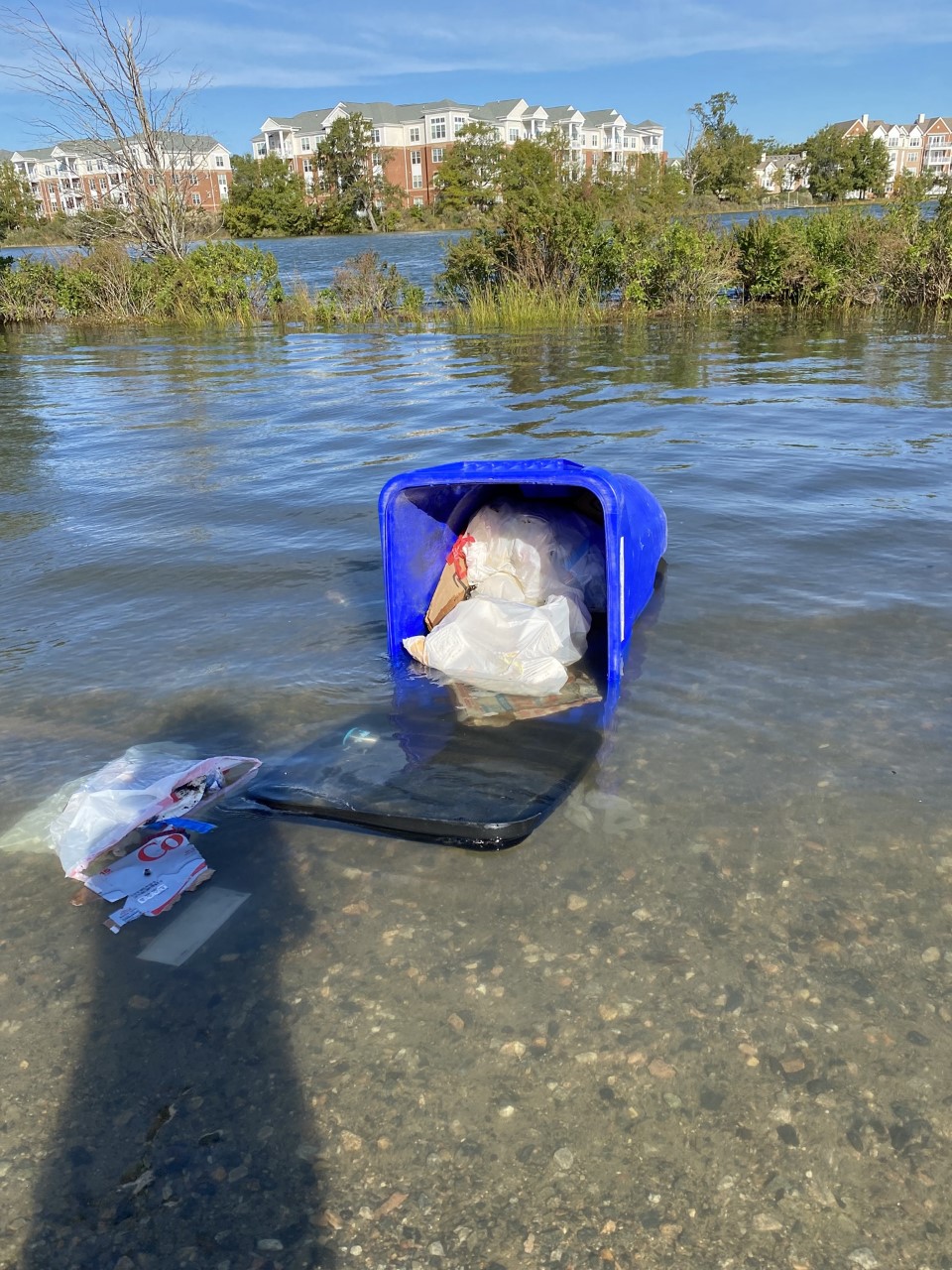
In tidewater, king tides often create what is called “nuisance” flooding. Low-lying yards and streets are temporarily flooded on each high tide. If you watch the local news, you will likely see video clips of areas that frequently flood, such as the Chrysler Museum area in Norfolk.
But there are more problems with king tides than simple inconvenience. “King tides increase pollution,” says Chris Moore, Senior Regional Ecosystem Scientist at the Chesapeake Bay Foundation. When yards and streets flood, the flood waters pick up pollutants such as lawn chemicals, pet poop, and oil and gas from the streets. “This flooding shows the importance of reducing pollution on land that is close to waterways. It also highlights the importance of buffers along roadways and yards,” said Moore.
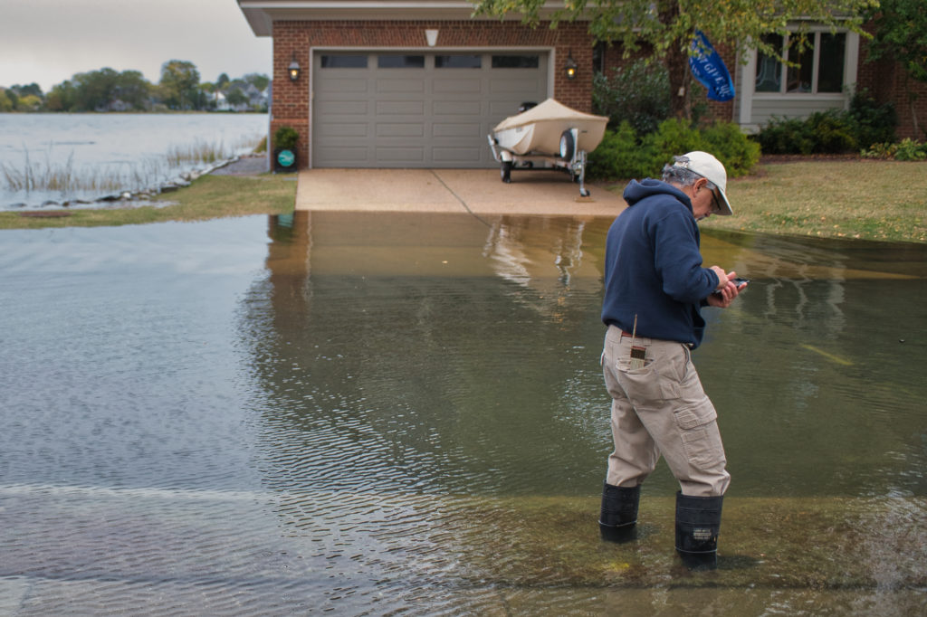
Photo: Kendall Osborne
Casey Shaw, Grassroots Coordinator for the Elizabeth River Project, also emphasized the importance of keeping pollution out of the king tides grip. She emphasized picking up pet waste, as well as securing trash cans so they don’t float away or blow over, releasing trash into the waterways.
While most folks stay indoors during a king tide storm combo, volunteers in boots were out measuring the tide over the weekend. The “Catch the King” tide program is touted as the largest volunteer environmental survey in the world. In November, 2017, water levels were measured at almost 60,000 locations by 722 volunteers, earning the survey a spot in the Guinness World Records book. Scientists use this detailed information to tweak their computer models, so future water levels and flooding events can be predicted with more accuracy. This will be especially important to waterfront communities as flooding becomes more frequent in the future. The program is operated by the Virginia Institute of Marine Science (VIMS).
During last weekend’s super king tide, VIMS program leader Dr. Derek Loftis reported more than 100 people collected 5,000-plus GPS-recorded high water marks and collected more than 150 pictures through the Sea Level Rise app. Many more were posted to the “Help Catch the King Tide!” Facebook group. Loftis says VIMS is in the midst of testing a new, free app that should soon be available.
You can see the results of the king tide program online. The interactive maps quickly reveal flood-prone areas. You can also sign up to volunteer.
-Kendall Osborne