In the wake of Hurricanes Helene and Milton, the East Coast is painfully aware of how dangerous flooding can be. The Chesapeake region may not fall into the direct path of hurricanes as frequently as our southern neighbors, but flooding is still a troubling issue on the Bay.
This week, Norfolk nonprofit Wetlands Watch is bringing back its annual “Catch the King” citizen science program. Wetlands Watch is seeking volunteers from Thursday, Oct. 17 through Sunday, Oct. 20 to help collect flooding data.
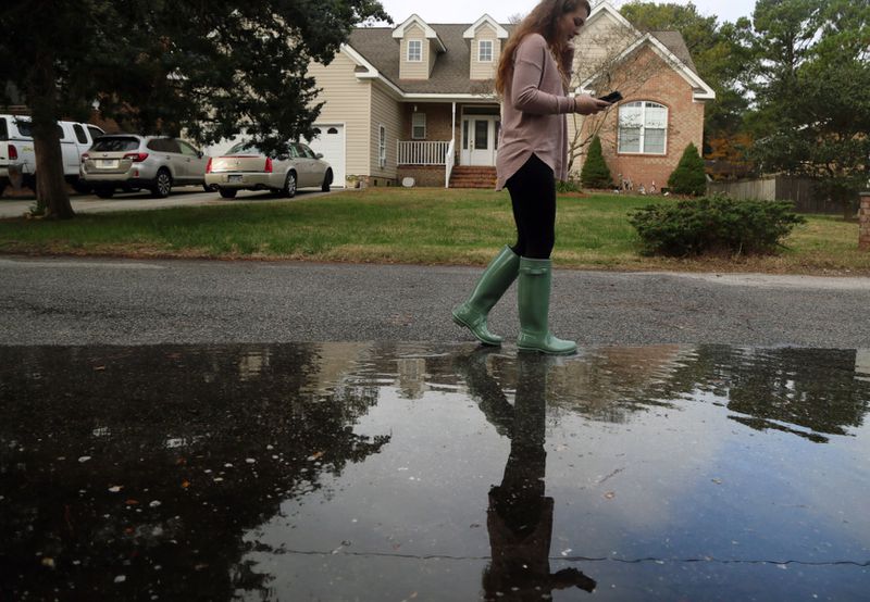
A “king tide” refers to tidal flooding that happens when the full or new moon is orbiting at its closest to Earth. The moon’s gravitational pull elevates sea levels, causing additional flooding at high tide. Norfolk experienced a king tide that brought extensive nuisance flooding to many areas from Sept. 16-23. This week marks the next wave of king tides.
Wetlands Watch, which is based in Norfolk, is working to study these king tides to help prepare for the future, as rising sea levels cause nuisance flooding more freqently.
Their crowd-sourced approach uses a mobile app called Sea Level Rise to collect GPS data along the outer edges of where flooding occurs during high tides. The app has been around since 2014, when it was developed and beta tested by Wetlands Watch and Virginia tech company Open Health Innovations.

In 2017, Catch the King was launched as a statewide program to give the public an opportunity to personally engage in adapting to climate change. Wetlands Watch’s former Executive Director, Skip Stiles, retired Virginian-Pilot reporter, Dave Mayfield, and Virginia Institute of Marine Science (VIMS) assistant professor, Dr. Derek Loftis, worked together on the project.
In its first year, Catch the King broke a Guinness World Record for “most contributions to an
environmental survey”. More than 700 volunteers recorded more than 60,000 unique high water marks. Such widespread participating and reporting will be the goal during this year’s Catch the King, too.
Studying and documenting king tides now can give an indication of what’s to come in the future, according to Wetlands Watch. The organization says, “The water levels of these astronomical events today will be our “normal” flood events of the future due to sea level rise.” They cite predictions from the National Oceanic and Atmospheric Administration (NOAA) which believes that by the year 2050, high-tide “sunny day floods” will happen nearly one-third of the year in Hampton Roads.
These events are often called “sunny-day” floods because high tide cycles can cause flooding on a clear, sunny day.
Dr. Loftis at VIMS is using Catch the Kings data to help validate flood prediction models. The models can be used to inform governments and the public about how to plan and adapt to future sea level conditions.
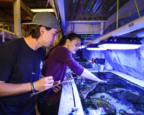
Some of the Catch the King data collectors are also gathering other valuable information while they are out documenting high water marks. Old Dominion University’s student volunteers record flood data in the field, and at the same time collect water samples to test for pollution. Researchers are looking at how much of a problem tidal flooding may cause to the environment by washing pollutants like fertilizer, motor oil, and dog poop from land back into the water when the high tide recedes. The research effort at Old Dominion is known as “Measure the Muck”, a nice companion to “Catch the King”.
The Virginia Marine Debris Coalition, funded by Virginia Sea Grant, is also holding an extra event alongside Catch the King. The “Water Wellness Watch” event on Oct. 19 at Norfolk’s Lafayette River Kayak -Launch will include a marine debris cleanup at low tide in the afternoon. Reach out to Joe Barnes (j3barnes@odu.edu) if you’re interested in participating.
All volunteers are welcome be part of Catch the King. Register for the event with Wetlands Watch by Oct. 17 and find a tutorial guide on the website to get your app ready ahead of time.


