

High water levels on the Chesapeake Bay waterfront are not an unusual sight, but this weekend’s extra-high “sunny day” coastal flooding was enough to get the whole region talking. Flooding impacted Alexandria, Annapolis and Baltimore, as well as Tangier and Smith Islands, Tilghman Island, Ocean City, and others. We rounded up some of the most compelling images here:
Click to open slideshow
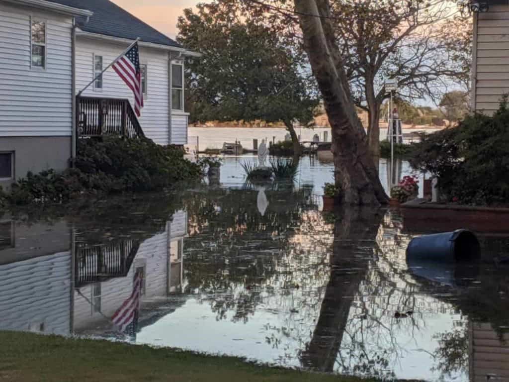
Bowleys Quarters, Maryland. Photo: Marine Emergency Team 21/ Facebook 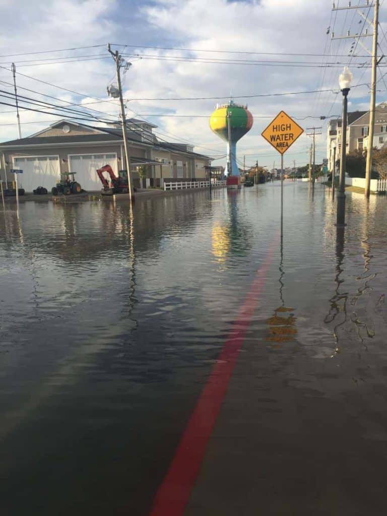
St. Louis & Philadelphia Avenues in downtown Ocean City, Maryland at high tide on Saturday morning. Photo: Lissa Tossey, Maryland Sea Grant 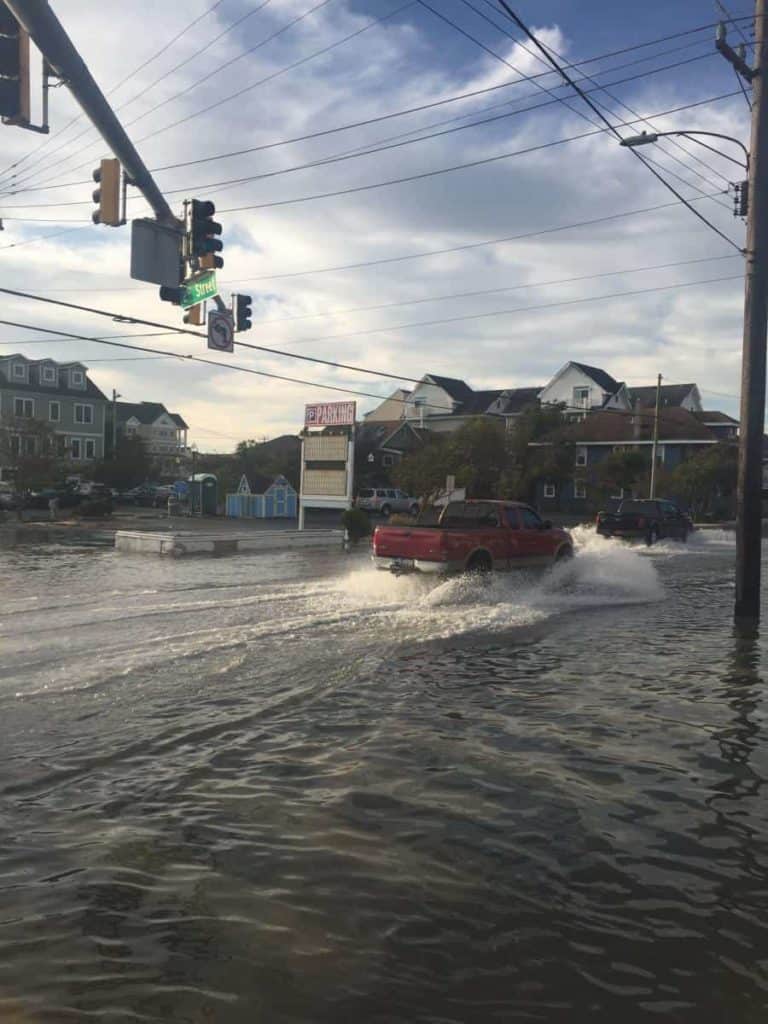
St. Louis & Philadelphia Avenues in downtown Ocean City, Maryland at high tide on Saturday morning. Photo: Lissa Tossey, Maryland Sea Grant 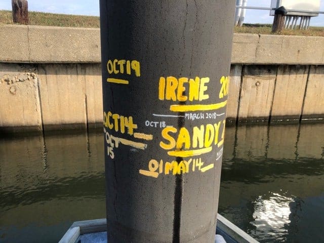
Toni Knisley keeps track of the high water line on her piling at PAX River Naval Air Station. You can see this weekend’s high water mark was her highest ever, above both Hurricanes Irene and Sandy. 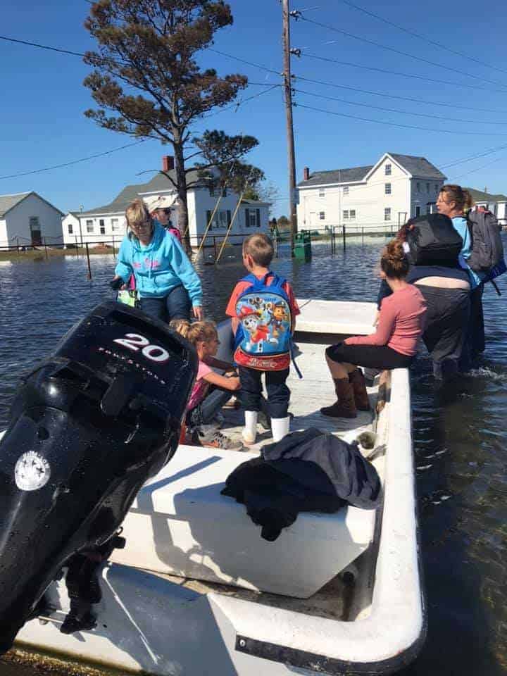
Children taken to class on Friday by Carolina Skiff, not school bus, on Tangier Island. Photo: Allen Parks/ Facebook 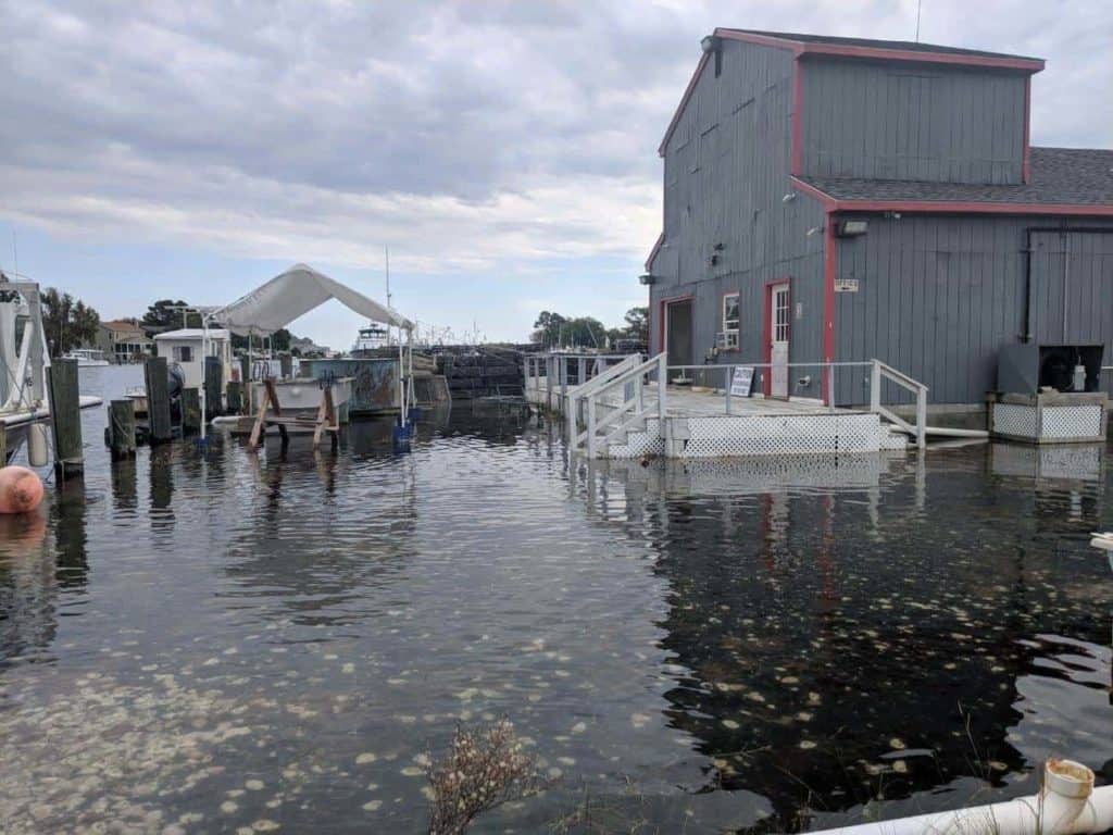
The Phillips Wharf Environmental Center in Tilghman Island. Photo: Phillips Wharf Environmental Center/ Facebook 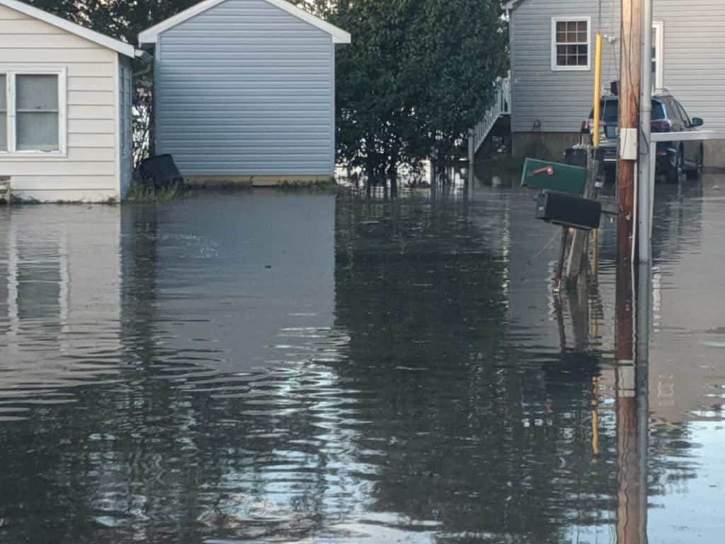
Bowleys Quarters, Maryland. Photo: Marine Emergency Team 21/ Facebook
Coastal flood warnings or advisories were in effect for communities along the entire Bay, when water levels began to rise Friday. Why was the flooding a step above the typical high tide? This weekend’s Hunter’s Moon (the first full moon to follow the Harvest Moon) coincided with the impact from an offshore Atlantic tropical storm.
The National Weather Service Baltimore Washington Region explained on Twitter, “The larger wind pattern around Tropical Storm Melissa (305 miles southeast of Nantucket Massachusetts as of 5:00 PM EDT Sat Oct 12 2019) has been onshore enough to block water exiting the mouth of the bay at low tide, resulting in higher tides each cycle.”
The flooding caused road closures in some areas, even forcing children on Tangier Island to be taken to school on a Carolina Skiff, with the help of local watermen. Bay Bulletin was at the United States Sailboat Show in Annapolis when high water made coming and going tricky. (more from Cheryl Costello here). And Maryland Natural Resources Police (NRP) say they helped respond to flooding-related boating incidents on the Potomac River and in Dorchester County.
-Meg Walburn Viviano


