The Bay states’ stay-at-home order was especially important to follow Monday as extreme weather–in addition to the COVID-19 pandemic–threatened the region.
At various times on Monday, parts of the region were under wind advisories, tornado watches or warnings, flood warnings, and severe thunderstorm warnings. Rainfall records were set at Dulles, Reagan and BWI International Airports, breaking records going back 48 years or more. The National Weather Service observed wind gusts from 60 to 70 miles per hour on the Eastern Shore as a squall line moved over the Chesapeake Bay.
Strong wind brought down trees and utility poles in Ocean City. Route 50 East in Dorchester County was closed due to downed wires. In Baltimore’s flood-prone waterfront neighborhoods, people were urged to move their cars to higher ground.
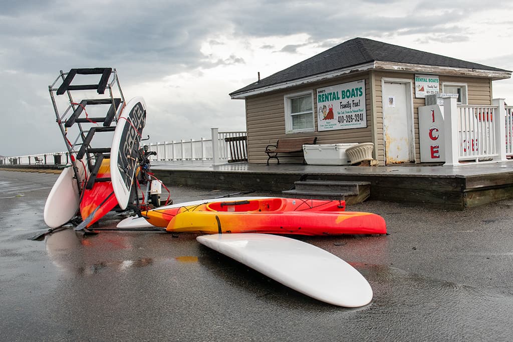
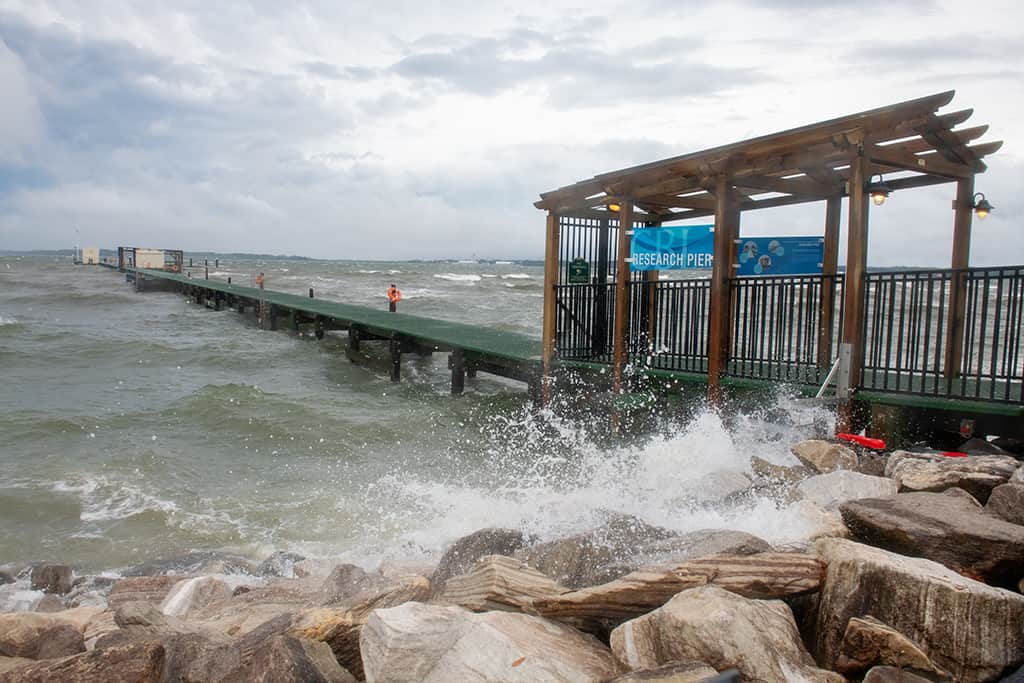
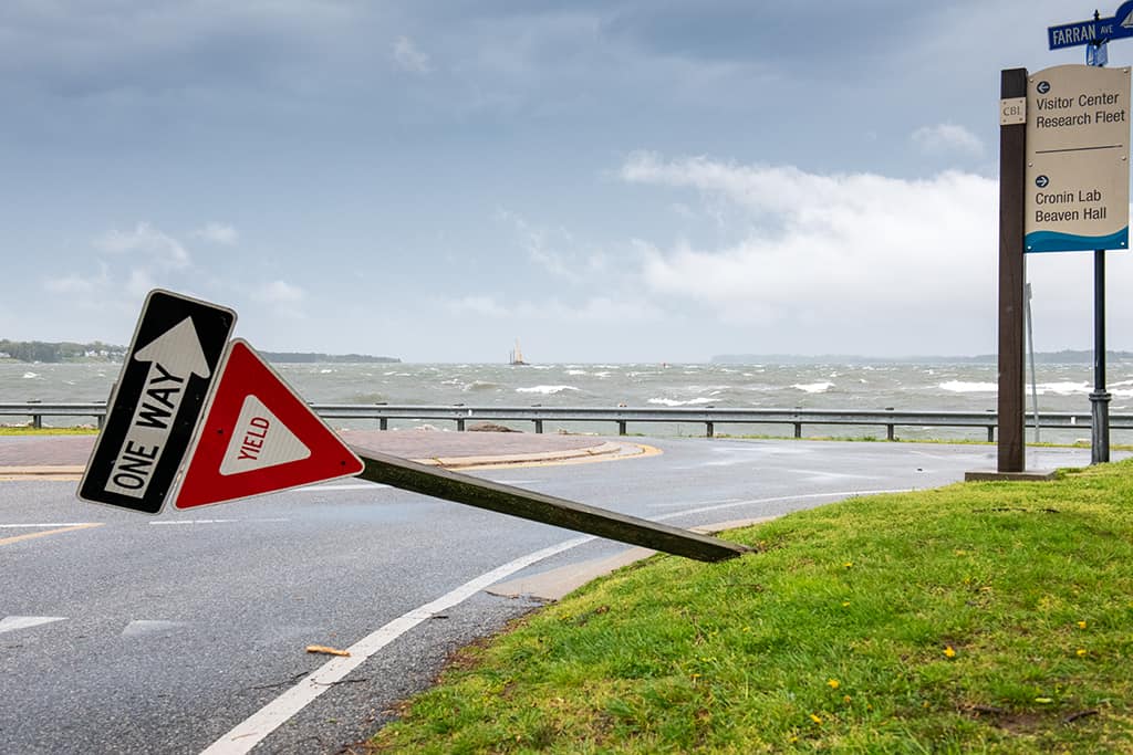
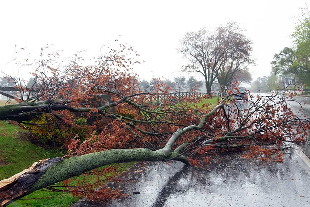
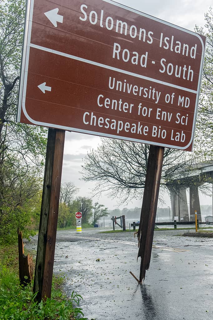
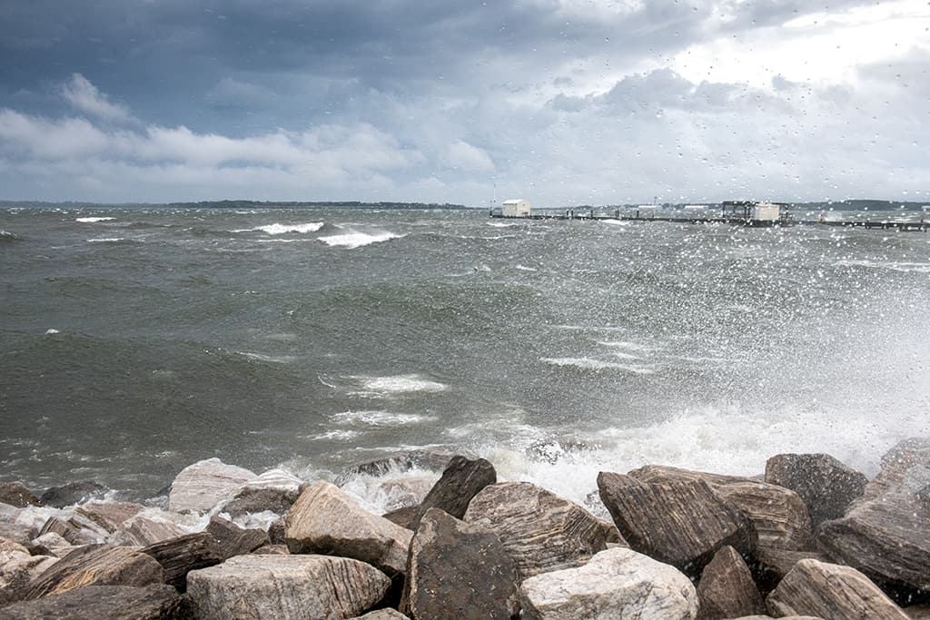
Photographer Dan Duffy shared these photos with Bay Bulletin from Solomons, Maryland. Trees came down, signs bent or broken, and kayaks strewn about. The Chesapeake Bay Biological Lab’s research pier (first photo) recorded gusts up to 55 miles per hour Monday morning. Click through the images below:
Wind warnings shut down the Chesapeake Bay Bridge Tunnel Monday morning and restrictions were in place for much of the day at the Bay Bridge in Maryland as well.
–Meg Walburn Viviano

