The South River has a cutting-edge new tool to show people how clean the water is at any given time.
The South River Federation and the Chesapeake Conservancy have launched an interactive online water quality map, to create a visual of the data the Federation collects regarding bacteria levels, dissolved oxygen, and water clarity.
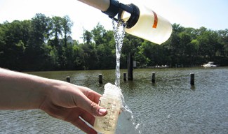
The information that staff and volunteers collect is computed to answer the questions, Is it safe to swim? Can fish breathe? And, how dirty is the water?
The South River Federation has collected a huge amount of data about the health of the South River over the last 15 years, but the organization needed a way to show it to people.
“We turned to the Chesapeake Conservancy for the technical expertise to help visualize this information for the public. Together, we built a one-stop-shop for anyone wondering if it’s safe to swim or where our current restoration projects are taking place,” says Federation Executive Director Elizabeth Buxton.
The map shows average water quality conditions at several sampling locations for the past year. In its color-coded system, green means “good,” yellow means “adequate,” and red means “poor.” The map can show water quality trends at a glance, and also the sites of South River Federation restoration projects. Right now there are 55 sampling locations and 44 restoration projects visible on the map.
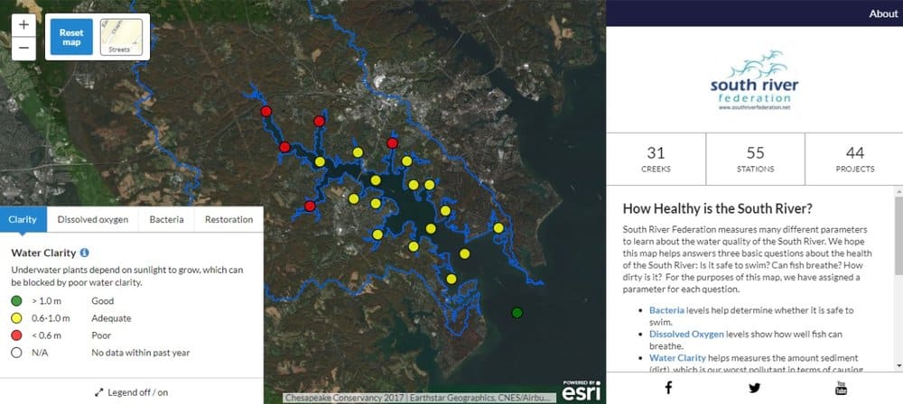
The Chesapeake Conservancy feels the interactive map could be used to track water quality for tributaries all over the Bay.
“With more centralized and consolidated data, South River Federation now has the ability to quickly mine their data for new insights to prioritize and guide their work moving forward,” Chesapeake Conservancy Director of Conservation Technology Jeffrey Allenby said. “This is a project that can be replicated for other rivers of the Chesapeake.”

