Exploring the Twisting Beauty of this Eastern Shore River
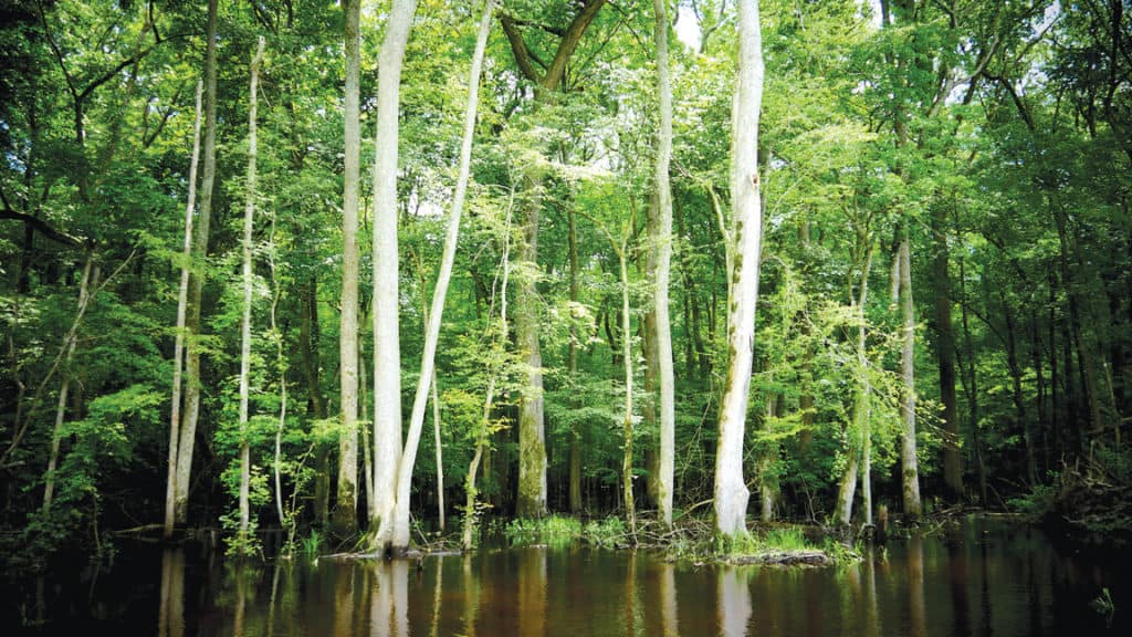
The Pocomoke River is lovely at any time of year, but spring is special. From the small community of Rehobeth upstream past Pocomoke City and Snow Hill to Porter’s Crossing, the river’s bald cypress trees are putting out their soft green needles, and if you look closely, you’ll see a flash of bright gold in the trees as a male prothonotary warbler shows off to attract a mate. Largemouth bass, crappie, and chain pickerel chase minnows among the stems of the broad-leaved spatterdock marshes growing in the shallows.
The Pocomoke river rises at the easternmost point in the Chesapeake watershed in Sussex County, Delaware, then flows through Maryland’s Wicomico, Worcester, and Somerset Counties to Pocomoke Sound in Accomack County, Virginia. It is part of the northernmost cypress swamp on the Atlantic coast.
Swamps and their adjacent marshes served native Chesapeake peoples over centuries as highways, food sources, and shelter. In the early seventeenth century, European settlers came with metal tools, horses, and a different point of view, exploiting this swamp for timber and bog iron, but otherwise considering it dangerous and unhealthful. After harvesting the swamp’s light, strong, and rot-resistant cypress and Atlantic white cedar trees, they drained it to allow agricultural fields and commercial pine plantations to grow in the otherwise waterlogged soils. Only in the latter half of the twentieth century did science begin to teach us the Pocomoke swamp’s many ecological and ecosystem-service values. Now we are finally learning to restore and conserve it.
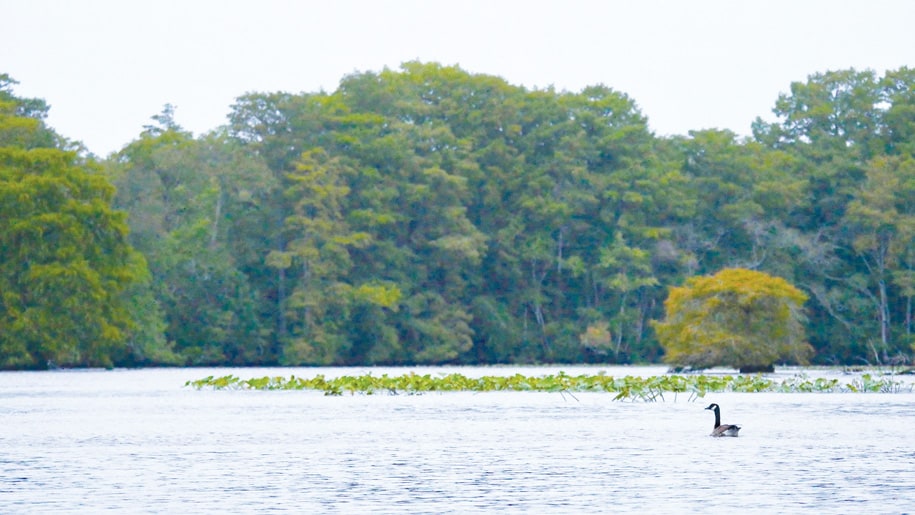
English colonists came to Jamestown in 1607 to gather the riches of the New World. To most of them, the prizes were the gold and silver they mistakenly believed to be here. Captain John Smith, on the other hand, is said to have remarked that what he saw was ships’ masts. Britain had harvested most of its large timber, so the virgin forests of the Chesapeake represented a less glamorous but far more useful resource to the pragmatic Smith. It appears that he explored the Pocomoke on his initial voyage of discovery in June 1608, so he would have seen the river’s giant cypresses and Atlantic white cedars.
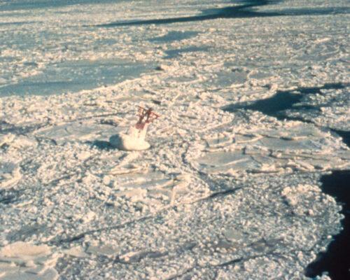
Sure enough, by the mid-seventeenth century, English colonists had settled parts of the Pocomoke, and logging has been an industry there ever since with raw lumber shipped out of Pocomoke City and Snow Hill. It had its risks, though. The river’s channel is deep but narrow with tight meandering turns that made sailing a serious challenge. Later on, those bends would challenge steamboats, diesel-powered buyboats, and tugs pushing barges—and there were other issues. In the winter of 1938, the 80-foot buyboat Vigilant with a crew from Virginia’s Northern Neck (including my late friend Earl Jenkins) got trapped for six weeks by ice with a deckload of lumber at the wharf in Pocomoke City. The Depression was on, and there was no money. The crew shivered through on potatoes and cornbread with their only amusement being the Grand Ole Opry on Saturday nights on an AM radio in the dockside showroom of Duncan Brothers Chevrolet.
In the early nineteenth century, the other local industry was digging out the swamp’s crude bog-iron ore and smelting it in a furnace built at the headwaters of Nassawango Creek, the river’s big tributary, to produce iron pigs that were shipped to Baltimore for manufacture. Today, the Furnace Town historic site offers tours of that remarkable enterprise from the dawn of the Industrial Revolution. The iron furnace failed in mid-century, and the Pocomoke forest gradually took over the site. During the 1930s, workers from the Civilian Conservation Corps dug extensive ditches along Nassawango Creek. They also “channelized” (dredged and straightened) nine miles of the river above Snow Hill to drain the swampland for agriculture and commercial pine plantations. The concept seemed to make business sense at the time, but the changes damaged water quality and the ecological value of the forest along the river.
The 1950s brought birders to the Pocomoke to observe the warblers that nested in the cypresses. Anglers also came to fish for largemouth bass. Maryland established two extensive parks between Snow Hill and Pocomoke City—Shad Landing and Milburn Landing. Snow Hill and Pocomoke City developed riverfront parks with launch ramps. As we began to recognize the value of the swamps and wetlands, The Nature Conservancy’s Maryland Chapter began an extraordinary forty-year effort to conserve land along Nassawango Creek and to restore the natural channel of the river above Snow Hill.
The guiding spirits of this effort were Joe and Ilia Fehrer of Snow Hill. Joe had been a National Park Service executive involved with establishing the Assateague Island National Seashore, but in retirement, he and Ilia spent countless hours advocating for conservation and guiding fellow canoeists along Nassawango Creek and the river. Since then, TNC’s volunteers and staff have built the Nassawango Creek Preserve into 9,953 acres of the watershed. Joe and Ilia are gone now, but their son Joe carries on the work as TNC’s preserve manager.
The National Aquarium in Baltimore, the Maryland Conservation Corps, and TNC have built a partnership with Worcester and Wicomico County schools in which sixth-grade students raise Atlantic white cedar seedlings in their classrooms over the fall and winter, then plant them in an area of the creek’s headwaters where old drainage ditches have been plugged to restore the original soggy hydrology. Since 2009, the partnership has planted more than 36,000 Atlantic white cedars.
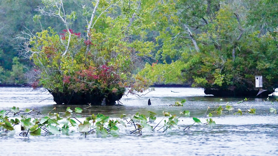
In a separate project, a broad partnership of the U.S. Fish & Wildlife Service, the U.S. Geological Survey, the U.S. Natural Resources Conservation Service, the Maryland Department of Natural Resources, TNC, the Fish & Wildlife Foundation, the France-Merrick Foundation, and local landowners began in 2012 to “free the river” by carving more than one-hundred breaches in the banks of the nine-mile channelized section. These cuts are gradually restoring the Pocomoke’s natural flooding cycle and the swamp’s natural ecological functions. Over time, the river will feel the project’s benefits all the way down to Pocomoke Sound.
Today, the Pocomoke is a true Chesapeake jewel. The small scale of the river makes it especially appropriate for paddling canoes and kayaks. In the Pocomoke River State Park, Shad and Milburn Landings offer access, with Shad Landing providing canoe and kayak rentals and a short itinerary on Corker’s Creek. In Snow Hill, by the Route 12 Bridge, the Pocomoke River Canoe Co. offers rentals and shuttles (including for private boats). There is plenty to see in the immediate vicinity of their landing, but two favorite one-way itineraries are the easy run from Porter’s Crossing down the main river to Snow Hill (5.5 miles) and the trip from Red House Road to Snow Hill (6.5 miles) on Nassawango Creek (the Fehrers’ favorite.)
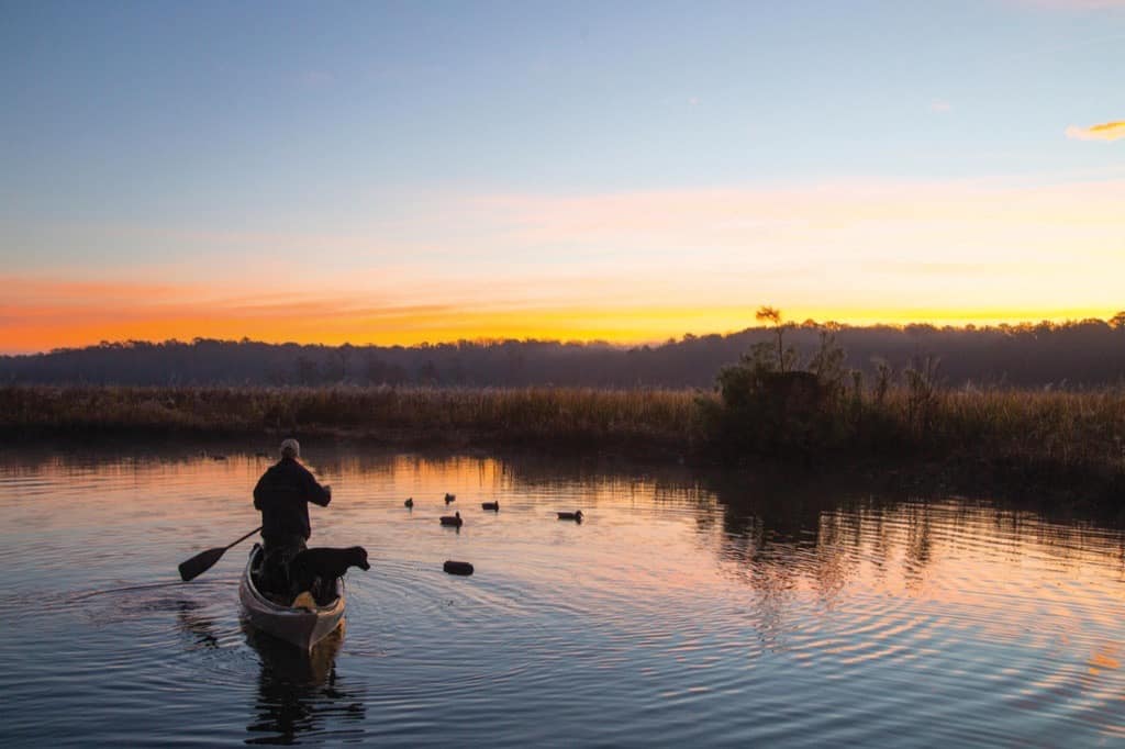
To see the Pocomoke’s transition from cypress swamp to broad tidal marsh in your own boat, head south below Pocomoke City to the public landing at Rehobeth to explore the river and nearby creeks. Look for the warblers, ospreys, and eagles, and carry a light spinning rod to cast spinners, spoons, and jigs for bass, crappie, and chain pickerel. The Pocomoke will put a springtime smile on your face.

