Last week, the remote and disappearing Shark Tooth Island was our most-clicked headline. We wrote about a research team from the University of Mary Washington who is studying this special island in the Potomac.
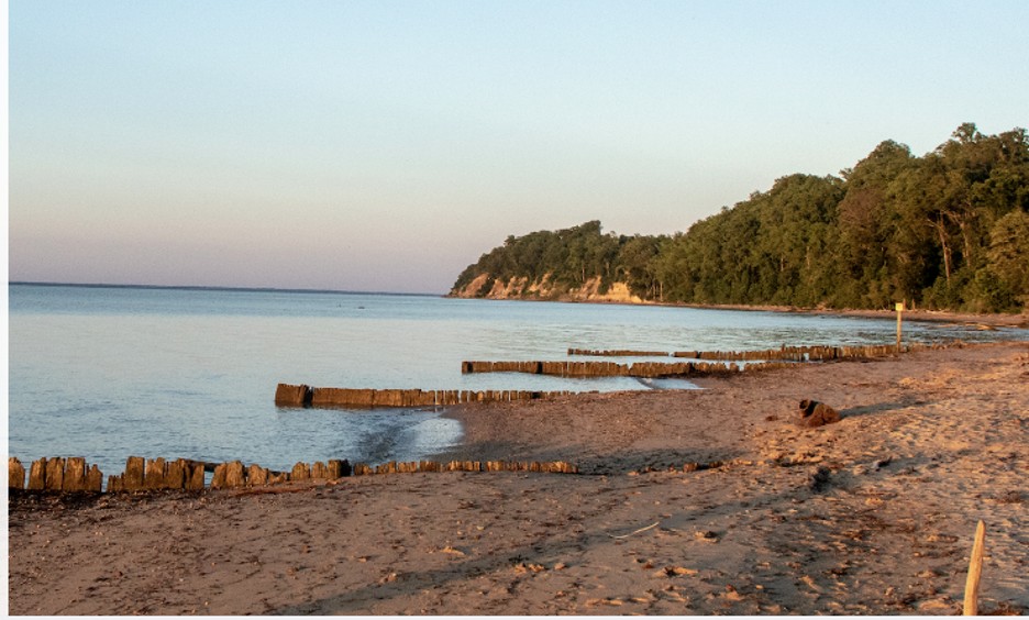
But the sandbar, or “island,” has an even bigger backstory. Most charts show it as Hollis Marsh, with its eastern (downriver) end Elbow Point. It was formed over several millennia by longshore erosion, with sand eroding from the tall bluffs just upriver in front of Stratford Hall and Westmoreland State Park, respectively. That erosion litters the island’s shore liberally with shark’s teeth, scallop shells, and other Miocene fossils. It’s a beachcomber’s dream.
A century or more ago, Hollis Marsh was a long, wooded peninsula protecting Currioman Bay and its four small tributary creeks. Storms like the legendary 1933 Hurricane (of no given name) and 2003’s Hurricane Isabel, as well as annual winter nor’easters, have pummeled it with high winds, five-to-nine-foot storm surges, and powerful currents. Today, the property consists of three slender sand spits with low, storm-battered shrubs and marsh on the backsides. A close look at a current chart will reveal the overall pattern, with shallow bars where fast land once lay.
Elbow Point, at the eastern end, is remarkable for the sharp dropoff on its riverside. This is fragile territory as far as humans are concerned, but wildlife, ranging from river otters and winter’s migratory waterfowl to summer’s shorebirds, along with blue crabs and all sorts of fishes, have found it valuable habitat throughout its history. This correspondent has had direct experience with its rockfish since the 1960s.
There’s more: nestled in the hollow just beyond Elbow Point is the mouth of beautiful Nomini Creek, which offers lovely, quiet deepwater anchorages to cruising sailors today. It has plenty of stories to tell, beginning with a visit by Captain John Smith and his crew of explorers to the Onawmanient Indians in the summer of 1608. Later, the Washington and Carter families established 18th- and 19th-century plantations. Nomini Creek is long, rising on the spine of the Northern Neck a hundred feet above sea level and flowing some eight miles (as the resident eagles fly) north to the Potomac. The head of its watershed cradles that of the Rappahannock’s Cat Point Creek. Some scholars believe the Rappahannock and Onawmanient people used the crossing as a portage between their respective rivers. Two bridges cross the creek, so exploring all the way up the creek is limited—but highly recommended in an outboard skiff, preferably equipped with pushpoles for the last quarter-mile.
Hear CBM editorial director Meg Viviano on WTOP Radio talking about Hollis “Shark Tooth Island:
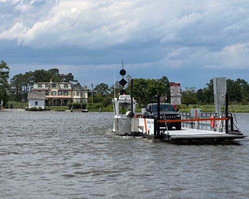
The Hollis Marsh/Currioman Bay/Nomini Creek waterway invites prudent exploration by multiple forms of watercraft. (Remember that to hunt for shark teeth at Hollis Island, you do need a permit.) See this map for the Currioman Bay Water Trail (with chart), and note the location of Currioman Landing, an unassuming but blue ribbon public launch point for paddlecraft and trailered boats. This area is one of the Northern Neck’s jewels.