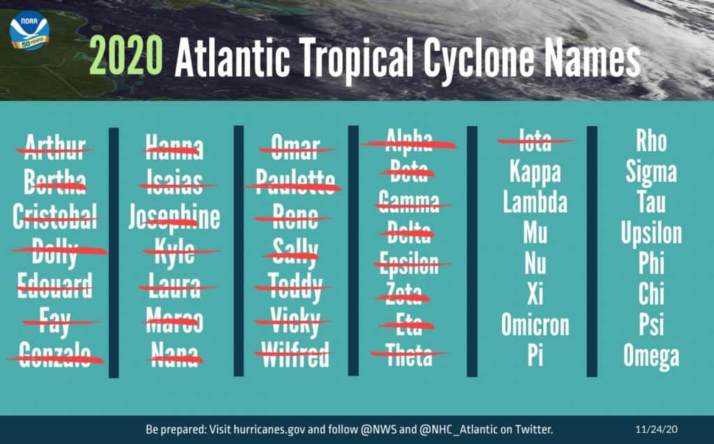
The Atlantic hurricane season officially ended Monday as a record-breaking year. 2020 brought 30 named storms (the second-highest ever) and 12 storms that made landfall—more than the past three seasons combined.
“The 2020 Atlantic hurricane season ramped up quickly and broke records across the board,” said Neil Jacobs, Ph.D, acting administrator of the National Oceanic and Atmospheric Administration (NOAA).

The only time the Atlantic had anywhere close to this number of named storms was in 2005, when there were 28. You may remember seeing this year’s list of 21 storm names was quickly exhausted, with Tropical Storm Wilfred on September 18th. Storm forecasters had to resort to the Greek alphabet for the rest of the time, going through nine letters, all the way to Iota.
The NOAA video below shows satellite animation of all the 2020 Atlantic storms:
But the onslaught of storms wasn’t a total surprise. As Bay Bulletin reported in May and again in August, NOAA predicted a strong probability of this hurricane season being extremely active. NOAA believes that being on top of their forecasting helped communities stay safe throughout the season.
“Our investments in research, forecast models, and computer technology allowed forecasters at the National Weather Service, and its National Hurricane Center, to issue forecasts with increasing accuracy, resulting in the advanced lead time needed to ensure that decision makers and communities were ready and responsive,” Jacobs says.
U.S. Secretary of Commerce Wilbur Ross also applauds the response. “The services provided by NOAA, alongside our emergency management partners, undoubtedly helped save many lives and protect property.”
NOAA scientists attribute the remarkable season (and increased activity over the last five consecutive years) to the warm phase of the Atlantic Multi-Decadal Oscillation, naturally-occuring surface temperature changes that cycle every 25–40 years. The current warm phase began in 1995 and has favored more, stronger, and longer-lasting storms since then.
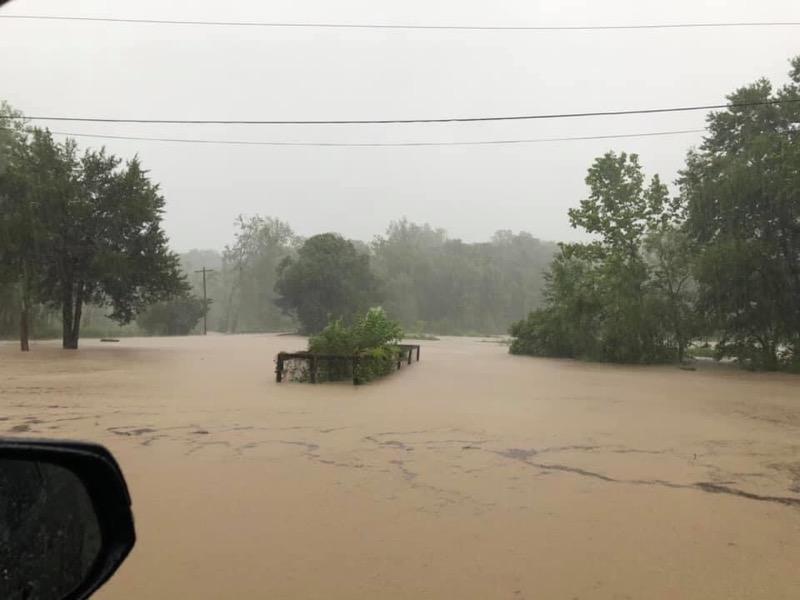
The historic 2020 hurricane season saw record water levels in several locations, including the Gulf Coast where Hurricane Sally brought the highest water levels since Hurricane Katrina in 2005 to Pensacola, Florida. In the Chesapeake Bay region, we were largely spared. Tropical Storm Isaias was on track to travel up the Bay, but damage was ultimately limited to tornadoes, wind, and high water in vulnerable places.
While the official hurricane season is now over, tropical storms may continue to develop past November 30th.
-Meg Walburn Viviano


