Virginia researchers have released their annual sea level “report cards” for the U.S. coastline, and the latest data finds that the rate of sea level rise is accelerating at almost all tidal stations measured.
William & Mary’s Virginia Institute of Marine Science (VIMS) found that at 25 of the 32 stations from Maine to Alaska– including five in the Chesapeake Bay region– water levels rose at a higher rate in 2019 than they did in 2018.
VIMS researchers’ report cards use 51 years of water-level observations to project sea level to the year 2050. The stations tracked include the Chesapeake Bay cities of Baltimore, Annapolis, Solomons, Norfolk, and Yorktown. All of them are showing “slightly higher rates of sea level rise and slightly more acceleration in the trend line than they did last year,” according to Dr. Molly Mitchell, a VIMS coastal ecologist and one of the authors of the report.
That means the 2050 projections are now higher, too. In 30 years, Baltimore’s sea level rise is predicted to be 1.3 feet higher compared to 1992, a 1.7-foot increase is projected in Annapolis, Solomons, Norfolk, and 1.8 feet is predicted in Yorktown.
However, Dr. Mitchell is quick to point out, the numbers are still within the expected variability range from last year.
“The upswing in rise rates point to the need to monitor sea level (which we are doing) and to be flexible in our future planning,” Dr. Mitchell says.
With such a small rate increase, it’s not time to panic yet. But if we continue to see a constant increase in sea level rise rates in the next four to five years, Dr. Mitchell says communities “may want to reconsider some of their planning targets.”
The project’s founder, VIMS emeritus professor John Boon, agrees: “Acceleration can be a game changer in terms of impacts and planning, so we really need to pay heed to these patterns.”
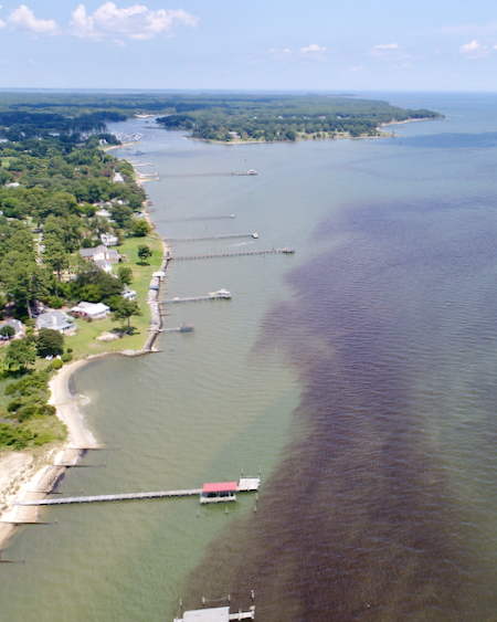
Boon stresses that the report cards look at the water level relative to the land surface on which people live and work. The relative sea-level rise in Virginia and other East and Gulf coast areas is due to both rising water and sinking land.
The interactive charts are available online at www.vims.edu/sealevelreportcards.
–Meg Walburn Viviano